
FolderDesa brings together practical knowledge on farming, village-owned enterprises, culinary traditions, rural tourism, and small-business ideas — all rooted in the everyday life of Indonesian villages.
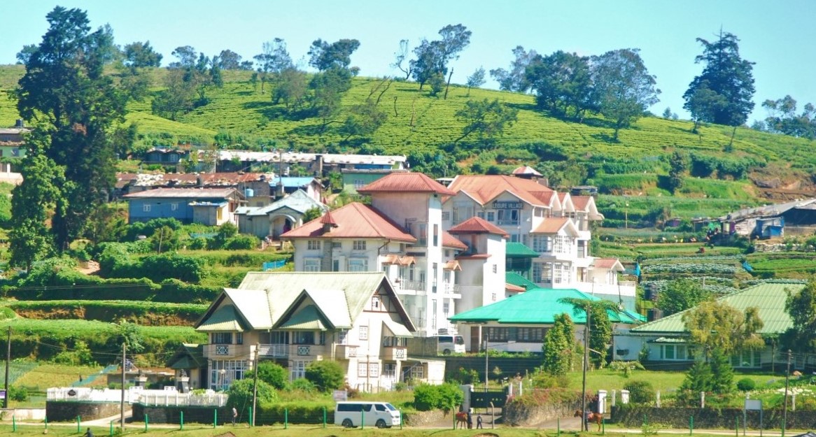
"From taro cultivation in Bogor to village tourism in Banyumas, every village has a story worth telling — and an opportunity worth sharing."
Seven areas of village knowledge
FolderDesa organizes its articles across these interconnected topics, each one grounded in real Indonesian village experience.
What you'll find on FolderDesa
Practical articles written by contributors who understand village life.
Agriculture & Cultivation
Articles on taro (talas bogor), dragon fruit, crystal guava, durian, oyster mushrooms, and tabulampot grapes — plus livestock such as dairy goats and Merino sheep.
Village-Owned Enterprises
Guides on establishing BUMDes, the differences from cooperatives, and why professional phased management matters for village economic growth.
Village Tourism
Coverage of destinations like Desa Karangkemiri in Banyumas, where outbound activities and a swimming pool helped tourism contribute Rp 50 million to village income in 2021.
Culinary Traditions
Indonesian village foods, Sundanese heritage dishes, spiced drinks, infused waters, seafood street-food ideas, and home-industry snack production.
Business Opportunities
From dried wood ear mushrooms and kopyor coconut seedlings to ecoprint crafting, bamboo crafts, and mina padi integrated rice-fish farming.
Village News & Community
Reports on social assistance programs like PKH, village governance structures, and practical tips such as safe homecoming travel during mudik season.
Mapping local resources for stronger village planning
A village development plan becomes more useful when it starts with what residents already have. Productive farmland, springs, craft skills, cultural traditions, roads, forests, food businesses, and community groups are all local assets. Mapping these resources helps planners see connections that are often missed in separate administrative reports.
A resource map is more than a drawing of village boundaries. It is a shared record of natural assets, public facilities, livelihoods, risks, and opportunities. When residents contribute information, the map reflects daily realities rather than assumptions made from an office or outdated statistics.
For Indonesian villages, this process can support the RPJMDes, annual village work plans, BUMDes business decisions, agricultural programs, and rural tourism development. It can also help village officials explain priorities clearly to residents and potential partners.
Start with a clear planning purpose
Before collecting information, define the decision the map should support. A village may want to identify land for food production, improve access to clean water, develop a tourism route, reduce flood exposure, or find products that could become BUMDes businesses. A focused purpose prevents the exercise from becoming a large but unused collection of data.
Write several practical questions for the mapping team. Which hamlets have reliable irrigation? Where are post-harvest facilities located? Which roads become difficult during the rainy season? Where do young people find work? Which cultural sites receive visitors, and what services are missing around them?
The answers determine what information to collect and who should participate. A map for agricultural planning requires different details from a map for village tourism or disaster preparedness.
Build a representative mapping team
A village resource inventory should include more than government staff. Invite farmers, women’s groups, youth representatives, elders, customary leaders, traders, teachers, health workers, and BUMDes managers. Each group sees the village from a different angle, and those perspectives can reveal informal assets that do not appear in official records.
Begin with a simple hamlet-level discussion. Ask residents to mark important places on a printed village map or a large hand-drawn sheet. They can identify wells, productive gardens, home industries, livestock areas, sacred sites, footpaths, gathering spaces, and locations with recurring problems.
Use local language where needed and make participation comfortable for people with limited formal education. The goal is practical knowledge, not technical performance. Record who provided each piece of information, especially when boundaries, land use, or cultural ownership may require later verification.
Collect evidence on the ground
A reliable village asset map combines several sources. Existing land-use maps, population data, agricultural records, satellite imagery, and disaster maps provide a starting point. Field visits then test whether those records match present conditions.
Classify resources into useful groups:
- Natural resources, including soil, water, forests, coastlines, and biodiversity
- Economic resources, such as farms, markets, workshops, food producers, and transport services
- Social resources, including cooperatives, farmer groups, volunteers, and skilled residents
- Cultural resources, including ceremonies, traditional buildings, crafts, stories, and local cuisine
- Infrastructure and public services, such as roads, bridges, schools, clinics, electricity, and internet access
- Risks and constraints, including erosion, flooding, land disputes, waste sites, and seasonal shortages
During field verification, record location, condition, ownership or management, seasonal changes, current users, and possible development value. A spring may appear valuable, for example, but its flow could decline during the dry season. A scenic hill may attract visitors, yet lack safe access, waste facilities, or community agreement.
| Resource category | Information to record | Possible planning use |
|---|---|---|
| Farmland and livestock areas | Area, crops, irrigation, production limits | Food security and agribusiness |
| Water sources | Location, flow, users, dry-season condition | Drinking water and irrigation |
| Crafts and home industries | Skills, products, workers, market access | BUMDes and small-business support |
| Cultural sites and traditions | Custodians, events, visitor capacity | Cultural tourism and preservation |
| Roads and public facilities | Condition, access, distance, service gaps | Infrastructure priorities |
| Environmental risks | Flooding, erosion, waste, fire exposure | Mitigation and land-use planning |
Turn resource data into useful maps
The simplest map can be made with printed satellite imagery, colored markers, and a clear legend. For more detailed work, village teams can use mobile GPS applications or open-source geographic information system software. Technology is helpful, but it should support local decisions rather than replace local knowledge.
Create separate layers for land use, water, infrastructure, livelihoods, tourism assets, public services, and hazards. Overlaying these layers can show practical relationships. A cluster of food producers near a poor road may justify transport improvements. Several attractions along one route may support a community-managed tourism circuit.
Mapping should also recognize access and control. A resource is not automatically available for commercial development because it appears on a map. Check land rights, customary rules, environmental limits, and the wishes of custodians. For example, a cultural site may be suitable for educational visits but not for unrestricted visitor access.
Local tourism planning benefits from this careful approach. Villages that preserve craft knowledge can study examples of traditional batik villages while deciding how workshops, visitor routes, homestays, and local products should be connected without weakening cultural ownership.
Prioritize opportunities fairly
A complete inventory can contain more potential projects than the village budget can support. Prioritization makes the map actionable. Assess each opportunity according to community benefit, feasibility, cost, environmental impact, local control, and urgency.
A simple scoring session can use a scale from one to five. Residents and planners score proposed actions separately, then discuss major differences. This process can expose competing expectations and help officials explain why one irrigation repair may come before a new tourism gate.
Look for combinations of assets rather than isolated projects. A farming area, a processing skill, a local food tradition, and an accessible market may form a stronger economic opportunity together. In the same way, a river, walking path, village history, and youth guide group may create a modest tourism product if safety and waste management are addressed first.
Keep the map accurate and useful
Resource mapping should be treated as a living village information system. Assign responsibility for updates to a planning team, BUMDes unit, or designated village staff member. Review key information at least once a year and after major changes such as road construction, flooding, land conversion, or business closure.
Store both a printed version and a digital backup. Use consistent names, dates, symbols, and location references so future teams can understand the records. Protect sensitive information, including private land details, sacred locations, and data about vulnerable households.
Share a public version through village meetings, noticeboards, or a community website, while keeping restricted information accessible only to authorized people. Transparency builds trust, but responsible data management protects residents and cultural assets.
Practical habits for better village mapping
Small procedural choices can determine whether the exercise leads to real development. Keep the language simple, document disagreements, and return findings to the people who supplied the information. A map gains value when residents can recognize themselves in it and use it to advocate for practical improvements.
Use the following habits throughout the process:
- Verify important locations with residents from more than one hamlet.
- Record seasonal conditions instead of relying on a single visit.
- Connect every proposed project to a clear problem or opportunity.
- Include women, youth, low-income households, and people with disabilities in consultations.
- Review the map during annual budgeting and BUMDes business planning.
A well-maintained resource map can guide decisions for years. It helps villages protect valuable land and traditions, direct infrastructure spending, strengthen local enterprises, and present credible proposals to district agencies or development partners.
Begin with one planning question, gather residents around a simple map, and document what they already know. Then turn that shared knowledge into priorities that can be funded, monitored, and improved through the village planning cycle.

Questions or story ideas from your village?
FolderDesa welcomes readers who want to share village experiences or learn more about the topics covered on the site.
Visit the Contact Page