
FolderDesa brings together practical knowledge on farming, village-owned enterprises, culinary traditions, rural tourism, and small-business ideas — all rooted in the everyday life of Indonesian villages.
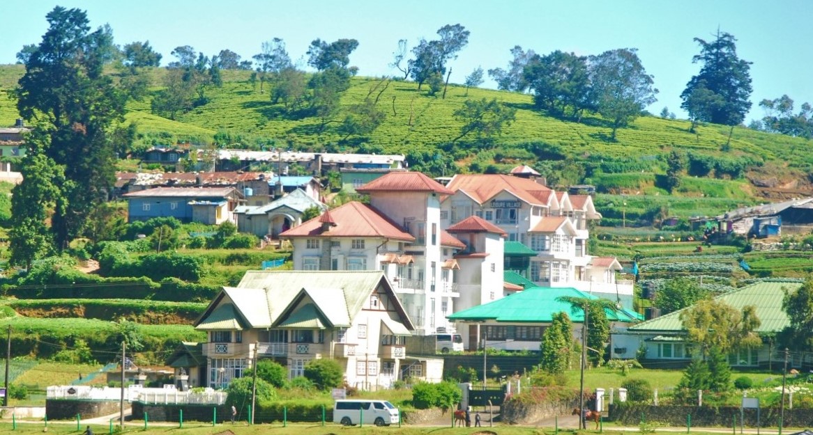
"From taro cultivation in Bogor to village tourism in Banyumas, every village has a story worth telling — and an opportunity worth sharing."
Seven areas of village knowledge
FolderDesa organizes its articles across these interconnected topics, each one grounded in real Indonesian village experience.
What you'll find on FolderDesa
Practical articles written by contributors who understand village life.
Agriculture & Cultivation
Articles on taro (talas bogor), dragon fruit, crystal guava, durian, oyster mushrooms, and tabulampot grapes — plus livestock such as dairy goats and Merino sheep.
Village-Owned Enterprises
Guides on establishing BUMDes, the differences from cooperatives, and why professional phased management matters for village economic growth.
Village Tourism
Coverage of destinations like Desa Karangkemiri in Banyumas, where outbound activities and a swimming pool helped tourism contribute Rp 50 million to village income in 2021.
Culinary Traditions
Indonesian village foods, Sundanese heritage dishes, spiced drinks, infused waters, seafood street-food ideas, and home-industry snack production.
Business Opportunities
From dried wood ear mushrooms and kopyor coconut seedlings to ecoprint crafting, bamboo crafts, and mina padi integrated rice-fish farming.
Village News & Community
Reports on social assistance programs like PKH, village governance structures, and practical tips such as safe homecoming travel during mudik season.
How to Conduct a Village Land Use Mapping Exercise
A village land use map turns local knowledge into a practical picture of how land is occupied, managed, protected, and contested. It can show rice fields, gardens, grazing areas, homes, roads, waterways, forests, sacred sites, markets, and land reserved for future development.
For Indonesian villages, this process is useful when preparing a village development plan, improving food security, identifying tourism opportunities, or strengthening a village-owned enterprise (BUMDes). A carefully prepared map can also help residents explain their priorities to district officials, investors, and neighbouring communities.
The method has clear parallels with planning work in Australia. A community near Brisbane may compare its hand-drawn map with a council planning scheme, while a farming community outside Melbourne may check property boundaries, irrigation channels, and bushfire risks against official cadastral data.
The most reliable map is not produced by an outside consultant working alone. It combines satellite images, government records, field observation, and the memory of residents who know where water flows in the wet season, which paths are used daily, and which areas should not be disturbed.
Define The Purpose And Mapping Area
Begin by agreeing on the reason for the exercise. A food-focused map may concentrate on fields, livestock areas, irrigation, storage, and market access. A tourism map may examine scenic viewpoints, cultural sites, homestays, walking routes, waste facilities, and areas suitable for visitor services.
Write the purpose in simple language and identify the boundary being studied. It might be one dusun, the whole village, or a shared area between neighbouring villages. Avoid assuming that an administrative boundary settles every issue, particularly where customary land, forest areas, or disputed plots are involved.
Create a small working group that includes village officials, farmers, women’s representatives, young people, elders, customary leaders, and business operators. In Australia, a similar process would require checking the relevant local council planning scheme and speaking with Traditional Owner representatives where cultural heritage or Aboriginal land interests may be affected.
Gather Existing Information Before Walking The Land
Collect any available village maps, land certificates, irrigation drawings, road plans, disaster maps, aerial photographs, and district spatial plans. Online satellite imagery can help participants recognise fields and settlement patterns, but it should be treated as a reference rather than proof of ownership.
A useful base map should include a north arrow, scale, date, village boundary, major roads, rivers, and settlement names. Print large copies for group discussion if internet access or smartphones are unreliable. GPS-enabled phones can record points and tracks, while a notebook remains valuable when batteries, signal, or software create problems.
Land use categories should be agreed before fieldwork. Typical categories include housing, food crops, plantations, pasture, fish ponds, commercial areas, public facilities, forest, wetlands, conservation zones, religious or cultural sites, and vacant or abandoned land. For farming households, practical information such as soil condition, seasonal water availability, and access to farm planning notes can make the final map more useful than a simple colour-coded land cover image.
Combine Community Knowledge With Field Checks
Hold a participatory mapping meeting where residents draw directly on the base map. Ask them to mark current land use, important routes, flood-prone places, water sources, productive land, and sites with cultural meaning. Different groups may describe the same area differently, so record the source and date of each claim.
Next, walk selected areas with local guides. Check whether a mapped road is passable by motorbike, whether a stream remains open during the rainy season, and whether a plot shown as farmland has recently been converted to housing. Photograph features only with permission and record coordinates consistently.
Include seasonal patterns in the survey. A low-lying area may look empty in the dry season but become a rice-growing zone or flood channel during heavy rain. In northern Australia, land managers similarly distinguish between dry-season access and wet-season conditions, while bushfire-prone communities around Perth or Adelaide must account for fire breaks, vegetation, and emergency routes.
Record Rights, Risks, And Future Uses
Land use is different from land ownership. A resident may cultivate a plot without holding a formal title, a family may share access to a spring, or a community may protect a forest under customary rules. The map should therefore use separate symbols for physical use, management responsibility, and known rights or restrictions.
Sensitive information should not be published automatically. Exact locations of sacred places, valuable natural resources, or disputed parcels may need restricted access. Obtain consent before displaying names, photographs, or personal information, and keep a confidential record of disagreements rather than erasing them from the process.
Add a layer for risks and opportunities. Mark erosion, floods, landslides, drought exposure, waste dumping, insecure access, and areas vulnerable to uncontrolled development. Then identify possible uses such as a BUMDes warehouse, a village market, agro-tourism facilities, a community nursery, or restored wetlands.
Australian readers will recognise the importance of legal checks. A village project should be compared with applicable Indonesian spatial planning, environmental, forestry, and agrarian rules. In Australia, proposals may also involve council approvals, state planning laws, environmental protections, bushfire regulations, and the Native Title Act 1993. A community map informs decisions; it does not replace a formal survey, title search, or statutory approval.
Verify The Map And Turn It Into Action
After fieldwork, the mapping group should digitise the information or redraw it neatly on paper. Use consistent colours, symbols, labels, and a legend. Keep the original community sketches because they show how residents understood the landscape at the time and may help resolve later questions.
Present the draft at a village meeting and invite corrections. Ask whether every important road, water source, productive area, and cultural site has been included. Where opinions conflict, show the disputed area with a clear note and arrange a separate discussion rather than forcing a premature single answer.
Practical Mapping Checklist
- State the mapping purpose, boundary, date, and responsible working group.
- Collect existing maps, satellite images, certificates, plans, and local regulations.
- Include women, young people, farmers, elders, customary leaders, and vulnerable households.
- Record land use, access, seasonal conditions, hazards, rights, and management responsibilities separately.
- Verify important locations through field walks, photographs, GPS points, and community testimony.
- Protect sensitive cultural and personal information from unnecessary publication.
- Approve a maintenance schedule so the map is reviewed after major land-use changes.
A final map becomes valuable when it guides a specific decision. It might support a proposal for a farmers’ market, identify land for a village nursery, protect an irrigation corridor, or help a tourism group avoid building in a flood-prone area. Display a public version in the village office and keep a working digital copy with named custodians.
Turn The Map Into A Village Decision
Use the verified map to prepare a short action register. Each proposed action should name the location, responsible group, estimated cost, required permission, likely benefit, and possible risk. This prevents the exercise from ending as a colourful poster with no effect on budgets or land management.
Review the map at least annually and after major events such as flooding, new roads, land conversion, boundary changes, or a new village development plan. Assign one person or committee to store updates, record corrections, and make sure residents can see how their information has been used.
The immediate next step is to convene a two-hour village mapping meeting, bring a large printed base map, and ask participants to mark current land uses, water routes, hazards, and disputed areas in four different colours.

Questions or story ideas from your village?
FolderDesa welcomes readers who want to share village experiences or learn more about the topics covered on the site.
Visit the Contact Page