
FolderDesa brings together practical knowledge on farming, village-owned enterprises, culinary traditions, rural tourism, and small-business ideas — all rooted in the everyday life of Indonesian villages.
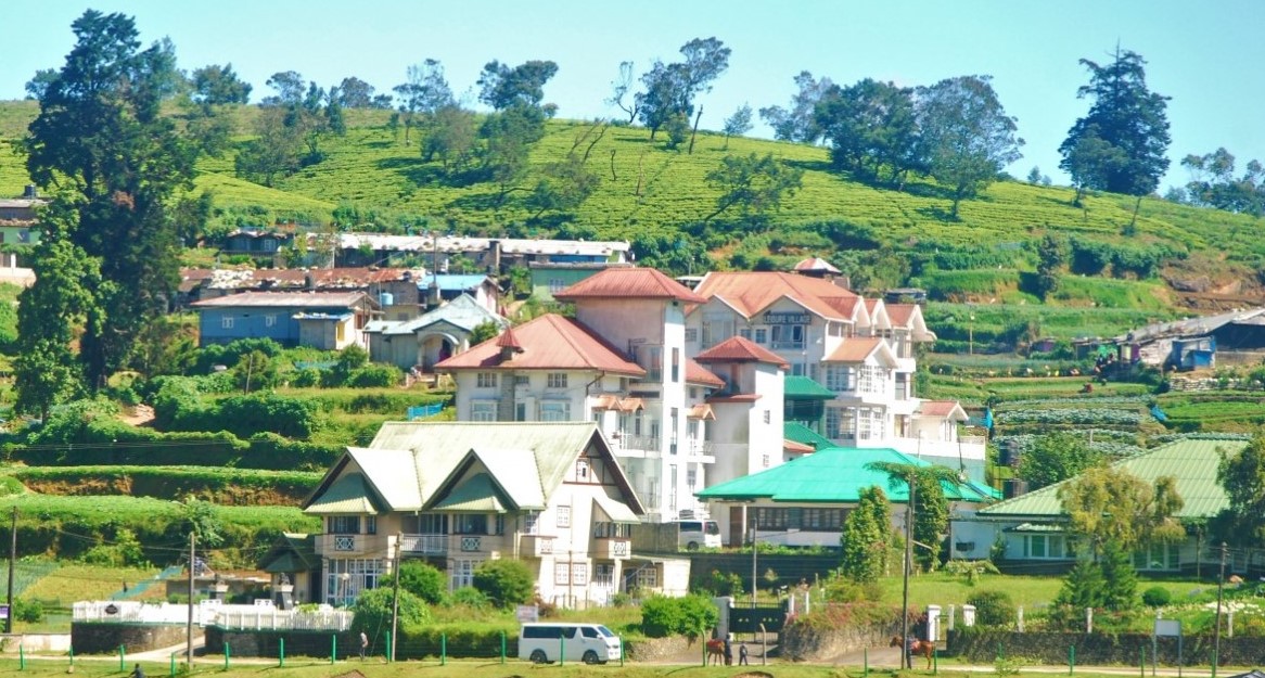
"From taro cultivation in Bogor to village tourism in Banyumas, every village has a story worth telling — and an opportunity worth sharing."
Seven areas of village knowledge
FolderDesa organizes its articles across these interconnected topics, each one grounded in real Indonesian village experience.
What you'll find on FolderDesa
Practical articles written by contributors who understand village life.
Agriculture & Cultivation
Articles on taro (talas bogor), dragon fruit, crystal guava, durian, oyster mushrooms, and tabulampot grapes — plus livestock such as dairy goats and Merino sheep.
Village-Owned Enterprises
Guides on establishing BUMDes, the differences from cooperatives, and why professional phased management matters for village economic growth.
Village Tourism
Coverage of destinations like Desa Karangkemiri in Banyumas, where outbound activities and a swimming pool helped tourism contribute Rp 50 million to village income in 2021.
Culinary Traditions
Indonesian village foods, Sundanese heritage dishes, spiced drinks, infused waters, seafood street-food ideas, and home-industry snack production.
Business Opportunities
From dried wood ear mushrooms and kopyor coconut seedlings to ecoprint crafting, bamboo crafts, and mina padi integrated rice-fish farming.
Village News & Community
Reports on social assistance programs like PKH, village governance structures, and practical tips such as safe homecoming travel during mudik season.
Creating a Tourist-Friendly Village Map from Local Landmarks
A useful village map does more than show roads. It helps visitors understand how local places connect, where to begin, what to see next, and how to move respectfully through residential areas, farms, cultural sites, and small businesses.
For Indonesian villages, the strongest maps are usually built from familiar landmarks rather than complicated geographic details. A mosque, traditional market, bamboo bridge, rice field, spring, workshop, or old tree can become a clear reference point when it is accurately located and described.
A community-made map can also support village tourism and local income. When visitors can find food stalls, homestays, craft producers, guides, and public facilities easily, they are more likely to stay longer and spend money with residents.
Start with the visitor’s journey
Before drawing anything, imagine the route of someone visiting the village for the first time. They may arrive from a main road, look for parking, search for the village office, and then follow a trail toward a waterfall, plantation, temple, or cultural performance area.
Write down several possible visitor journeys. A family may need a short, safe route with toilets and food stops, while hikers may prefer a longer path through farmland. These different needs reveal which landmarks deserve space on the map and which details can be left out.
Use a simple sequence such as arrival point, orientation landmark, main attraction, rest area, and exit route. This turns a collection of locations into a practical travel guide instead of an overcrowded drawing.
Identify landmarks people can recognize
Choose landmarks that are visible, stable, and known by local residents. A signposted community hall is generally more useful than a small tree that may disappear after a storm. Local names should be retained where possible, with a short explanation in English or Indonesian for visitors.
Useful categories include transport points, public facilities, natural features, cultural heritage, food and lodging, shopping locations, and safety services. Include bridges, steep slopes, river crossings, parking spaces, toilets, prayer rooms, first-aid points, and areas with weak mobile signals when relevant.
Ask residents from different neighborhoods to review the list. Older people may identify historical sites, farmers can explain seasonal access, and young residents may know popular photo spots. This shared process helps prevent the map from focusing only on official attractions.
Turn local knowledge into a clear layout
A hand-drawn base map can be enough for the first version. Start with the main road, village boundaries, rivers, ridges, and major intersections. Add landmarks gradually, using icons that are easy to understand at a glance.
Keep the legend short and consistent. A bed icon can indicate a homestay, a fork and spoon can mark a food business, and a leaf can represent a natural attraction. Use separate colors for roads, walking paths, waterways, and points of interest, while avoiding colors that are difficult to read when printed in black and white.
Every map needs orientation. Add a north arrow, a scale estimate, the date of the latest update, and an emergency contact number. If the route is not suitable for motorcycles, cars, wheelchairs, or young children, state this directly rather than leaving visitors to discover it themselves.
| Map element | What to include | Why it matters |
|---|---|---|
| Arrival points | Bus stops, parking areas, main road entrances | Helps visitors begin without confusion |
| Orientation landmarks | Village hall, market, mosque, school, large intersection | Provides recognizable reference points |
| Attractions | Waterfalls, rice terraces, heritage buildings, workshops | Shows what visitors can experience |
| Services | Toilets, food stalls, homestays, prayer rooms | Supports comfort and local spending |
| Route information | Walking time, distance, slope, surface condition | Helps visitors choose suitable paths |
| Safety details | Emergency contacts, slippery areas, river crossings | Reduces avoidable risks |
| Map notes | Date, legend, local names, language information | Keeps the guide understandable and current |
Verify routes before publishing
A landmark may be familiar but still difficult for outsiders to find. Walk every suggested route with at least one local resident and record the time needed between key points. Check whether signs are visible from the road, whether paths become muddy, and whether gates or private yards interrupt access.
Take photographs from the direction visitors will approach. A picture of a bridge or distinctive shop can later be used in a digital map or printed guide. Record GPS coordinates with a mobile phone if available, but do not rely on coordinates alone; signal coverage and device accuracy can vary.
Review visitor safety during the same field check. Identify loose boards, unprotected drops, aggressive animals, narrow paths, and areas that flood during heavy rain. Clear warnings and simple route alternatives make the map more trustworthy.
Connect the map with village businesses
A tourist map should give visitors reasons to stop, eat, shop, and participate. Mark food stalls, coffee producers, craft groups, farm visits, fishing ponds, cooking demonstrations, and homestays that are prepared to receive guests. Include opening hours and a contact person when those details are stable.
Small businesses should agree on the information shown. Some owners may prefer a phone number, while others may want visitors to arrive only by appointment. Avoid listing a business that has not approved its location or description, especially when it operates from a private home.
The map can also support community cleanliness and hospitality. A clean route, tidy rest area, and well-maintained public toilet influence visitor impressions as much as scenery does. Organizers can use this village clean-up guide to prepare key routes before a tourism season or local festival.
Publish, test, and update the map
Create both a printed and digital version when resources allow. Printed copies work well at parking areas, village offices, homestays, food stalls, and community events. A digital image can be shared through messaging groups and social media, while a location-based map can help visitors navigate from their phones.
Use a readable size and avoid placing too much information on one page. A main tourist route can appear on the front, with business contacts, cultural etiquette, and emergency information on the back. If the village has several tourism zones, produce separate walking maps rather than shrinking everything into an unreadable sheet.
Invite several people who do not live in the village to test the map. Ask them to find a landmark, follow a route, and locate a service without verbal assistance. Their confusion will reveal missing signs, unclear symbols, or local terms that need explanation.
Practical recommendations for village mapping
- Form a small mapping team with residents, tourism managers, youth groups, and local officials.
- Select landmarks that are stable, publicly accessible, and easy to recognize.
- Measure walking times and describe route conditions instead of showing distance alone.
- Obtain permission before listing private businesses, homes, or culturally sensitive sites.
- Set a regular review schedule after road repairs, floods, festivals, or business changes.
A local landmark map becomes more valuable when it reflects daily village life rather than presenting the area as a simple sightseeing route. Use it to guide visitors toward real community experiences while protecting privacy, safety, and local customs.
Begin with a short route around the most visited area, test it with residents and guests, then expand it as new attractions and businesses become ready. A clear, accurate map can help visitors travel confidently and help the village share its character on its own terms.

Questions or story ideas from your village?
FolderDesa welcomes readers who want to share village experiences or learn more about the topics covered on the site.
Visit the Contact Page